Low Traffic Neighborhoods
Our residential streets should prioritize residents
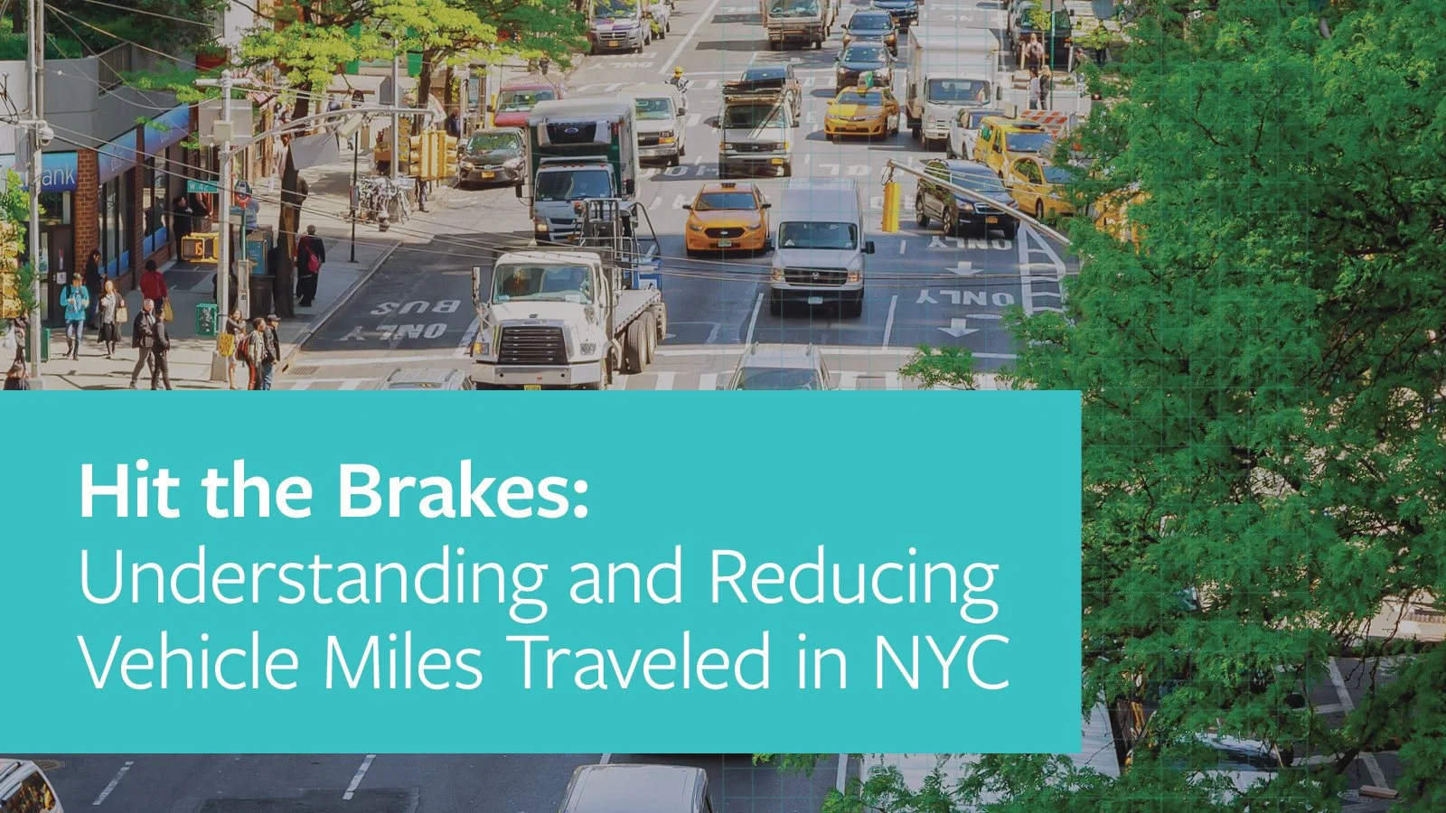
We’ve heard from New Yorkers across the city who are grappling with the same question: how do we stop drivers from using our neighborhood streets as shortcuts to their final destinations? The constant speeding, honking and congestion caused by cut-through traffic have made it harder to get around and enjoy your neighborhood safely. These drivers don’t live or work in the neighborhood, and they’re not visiting anyone. They’ve veered off the bigger roads and onto your local street to avoid congestion or to find a shortcut. This big problem requires a simple, proven solution: Low Traffic Neighborhoods.

The Campaign: How We Got Here
Our research on reducing vehicle miles traveled (VMT) examined policies that leading cities worldwide are using to address these challenges. Time and again, Low Traffic Neighborhoods (LTNs) emerged as one of the most effective ways to reduce unnecessary cut-through driving while making streets calmer, quieter, and more welcoming for the people who live there. That's why Open Plans is fighting to create New York City's first Low Traffic Neighborhood pilot and build support for a new approach to neighborhood streets.
We’re working with community partners to identify cut-through traffic hotspots and calling for calmer, quieter neighborhood streets. To spread the word we’ve hosted a packed evening of presentations at Brooklyn Borough Hall, a community workshop in Cobble Hill and a Nerd Night in Astoria.
That momentum is developing into action. Community boards in three boroughs have called for their neighborhoods to be considered for pilot Low Traffic Neighborhoods, including Brooklyn Community Board 6, Manhattan Community Boards 7 and 9, and Queens Community Board 6, which have asked NYC DOT to study cut-through traffic and explore solutions. We are also grateful to Council Members Tiffany Cabán, Julie Won, and Shekar Krishnan, who have written to NYC DOT urging the agency to study cut-through traffic in their districts and consider them for pilot locations.
Take Action: How Open Plans Can Help
We're committed to helping secure New York City's first Low Traffic Neighborhood pilot, the first step towards delivering transformative, citywide change. Our organizing and advocacy team is here to help you bring LTNs to your neighborhood. We’re ready to help with Community Board presentations and resolutions, outreach to local community-based organizations and local electeds, educational events, and so much more. Ready to take action? A sample Community Board resolution is available here. Email us at organizing@openplans.org to work together to bring an LTN to your neighborhood!
Learn more about Low Traffic Neighborhoods
Sign up for our biweekly newsletter.
In Low Traffic Neighborhoods
Traffic decreases 46.9% and even 1.6% on the boundary roads.
Streets are safer: 50% fewer car-related casualties and up to 33% slower speeds, even on boundary roads.
Active travel increases 25%: resulting in less sick days and improved life expectancy by 200 days.
Air quality improves: emissions drop 5.7% inside the LTN and 8.9% on boundary roads.
Crime decreases 10-18%; the longer the LTN has been in place, the less crime there is.
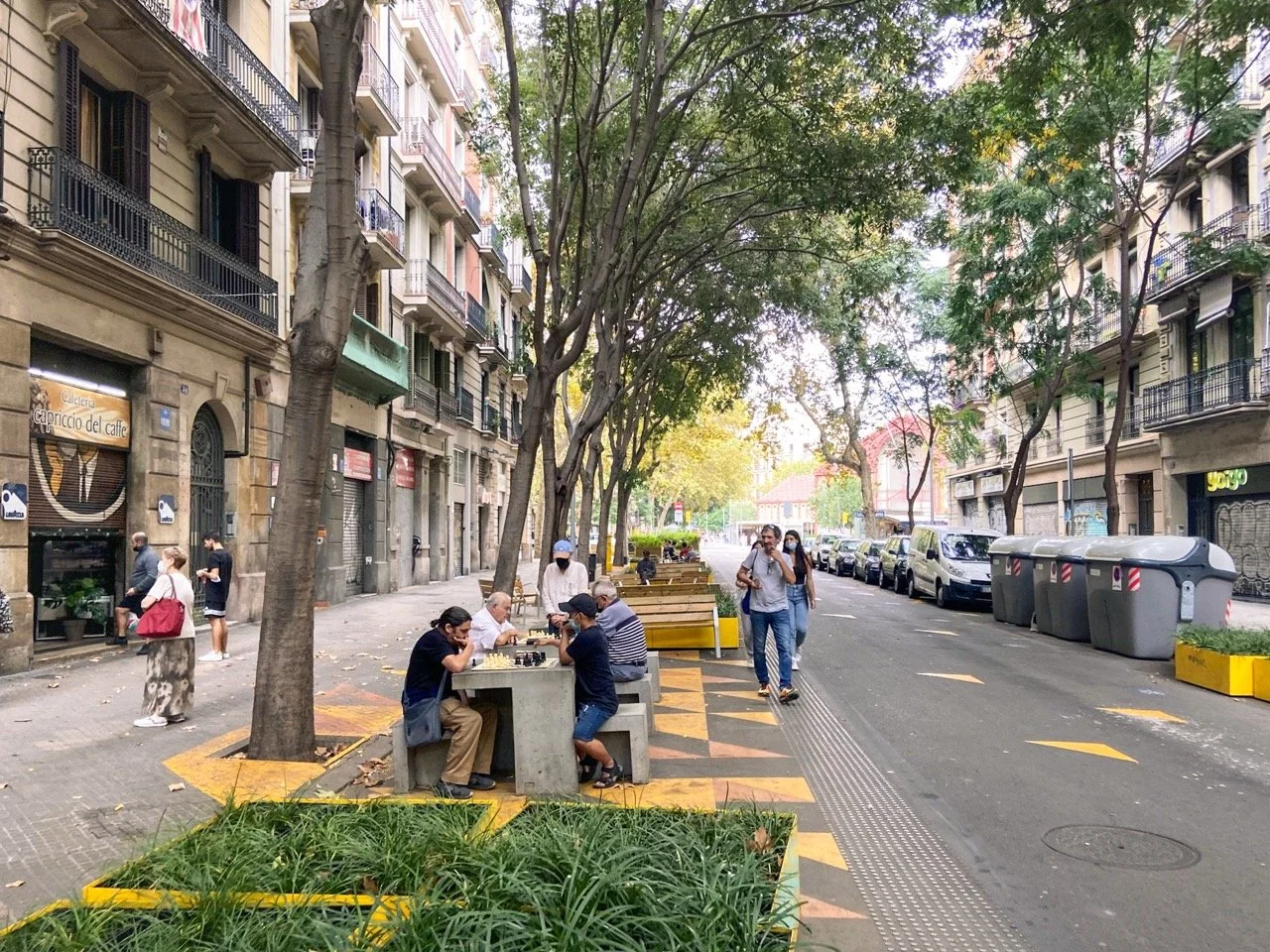
LTNs are common across the globe—London has over 70, in a variety of neighborhood types and sizes. They’ve become extremely popular with residents because they make neighborhoods quieter, calmer, and more local.
This treatment is perfect for New York City, where residential streets are far too narrow to accommodate so much driving. But we can reclaim our neighborhoods by making small changes to street design to prioritize local use. In an LTN, the only people driving in the neighborhood are the people who need access to it — residents, visitors, emergency vehicles, sanitation and delivery services.
FAQs
-
Cut-through driving happens when motorists use neighborhood streets as shortcuts — trips that neither begin nor end in the area. Navigation apps like Google Maps and Waze have made this problem worse by routing regional traffic through local streets to shave off a few seconds of drive time.
-
This is one of the most common questions — and the data shows the answer is no. While traffic patterns can shift in the first few weeks, studies from London and other cities show that overall traffic volumes fall citywide as people adjust — choosing to walk, bike, or take transit instead of driving short trips. In short: LTNs reduce local driving, which also reduces congestion on surrounding roads over time. Most communities start to feel the benefits within a few months as travel patterns stabilize.
-
It’s natural to worry that traffic will increase on your street — no one wants more cars or more congestion. But LTNs are designed as neighborhood-wide traffic management plans, not single-block interventions. The goal is to rebalance how cars move through an area, so no one street bears the burden. And in a deeper sense, we’re all in agreement: no one wants more cars on their street. LTNs are one of the only tools that actually deliver on that shared goal — by stopping unnecessary cut-through trips in the first place.
-
Yes. Emergency vehicles, sanitation trucks, deliveries, and local access are always maintained in LTNs. Multiple studies in London found that emergency response times did not worsen — and often improved — after LTNs were introduced. With fewer double-parked cars and less congestion, emergency access becomes more reliable.
-
LTNs maintain full access for essential city services. Routes for sanitation and deliveries may be slightly adjusted, but access is never blocked. In some cases, calmer streets can even improve reliability for buses and reduce obstructions for large vehicles.
-
Not yet. While NYC uses some of the same design tools (like diverters, one-way conversions, and daylighting), we’ve never implemented a comprehensive, neighborhood-wide plan like the ones seen in London, Paris, Berlin, or Bogotá.
-
LTNs are among the most cost-effective street safety measures available. In London, the estimated public health benefit equates to $5,960 per person over 20 years, at a cost of just $35–$44 per person to implement.
-
No, an LTN can be implemented without removing any parking. Some neighborhoods choose to pair LTNs with other improvements — like curb extensions or planters — but those are optional enhancements, not requirements.
-
No. LTNs are not pedestrian plazas. Unlike Open Streets, LTNs are self-enforcing — they rely on physical design and traffic management tools, not daily staffing or programming. Cars, deliveries, and residents still have full access.
-
A traffic study isn’t necessarily required; it would be at DOT’s discretion. Many cities launch pilot programs to test designs before making them permanent. That said, community input is a crucial first step in identifying neighborhoods and areas that are good candidates for an LTN.
-
Not necessarily. The City already has the authority to manage local traffic, but legislation can help standardize how LTNs are designed, funded, and evaluated. Open Plans supports citywide frameworks that make it easier for communities to request and shape their own LTN pilots.
-
There is currently a lack of research on the connection between LTNs and gentrification. Changes in neighborhood desirability are complex and depend on broader housing and land-use policy. In London, where LTNs have been created throughout the city and with an equity lens, quality of life goes up and neighborhoods are more desirable. To avoid potential gentrification effects, NYC should focus on building LTNs throughout the city, especially since they are so cheap and simple to build.
-
Every neighborhood is different — which is why LTNs are custom-designed to local conditions. They work best in areas with:
Frequent cut-through traffic complaints
Active community engagement and local leadership
Neighborhoods and intersections with known safety issues and concerns
Near schools, senior centers, parks, libraries, and/or community centers
-
Planters and curb extensions
One-way street conversions
Turn restrictions and modal filters
Daylighting and visibility improvements
Community engagement and traffic monitoring
If you’d like to explore which neighborhoods around New York have the most need for a low-traffic neighborhood, you can check out our tool here. You can filter by car ownership rates, air pollution, environmental justice risk, crashes and more to determine where LTNs make sense and if your community is a good fit.
A special thanks to our partner and community activist David Scatterday for developing this incredible tool. The hard work and dedication of New Yorkers like David who support liveable streets are what make our mission possible.