

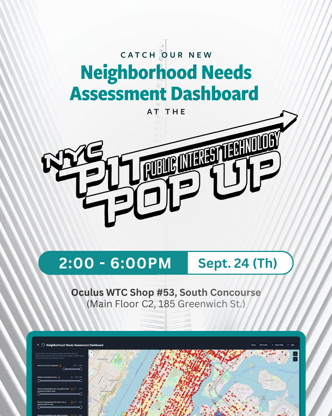
Which New York City neighborhoods are being cut through by traffic that doesn't belong there — and which ones are paying for it in dirtier air, more crashes, and less green space? Open Plans built the Neighborhood Needs Assessment Dashboard to ground conversations around data before decisions get made.
Developed as part of our campaign for the city's first Low Traffic Neighborhood (LTN) pilot, the free, interactive tool was built in partnership with community activist David Scatterday. It pulls together public data from the U.S. Census Bureau and NYC Open Data and allows users to filter by car ownership, air pollution, crash history, greenspace, and more, down to the census tract.
Stop by the NYC PIT Pop-Up on September 24, Thursday to try it yourself. We'll be there kicking things off alongside the finalists from Macaulay Honors College's Datathon, who are mapping their own story of how congestion pricing is reshaping air quality across the boroughs.
🗓️ September 24 | Thursday | 2PM-8PM
📍NYC PIT Pop-Up, Oculus World Trade Center, Shop #53, South Concourse, Main Floor C2, 185 Greenwich Street, New York, NY 10006