Neighborhoods Needs Assessment Dashboard
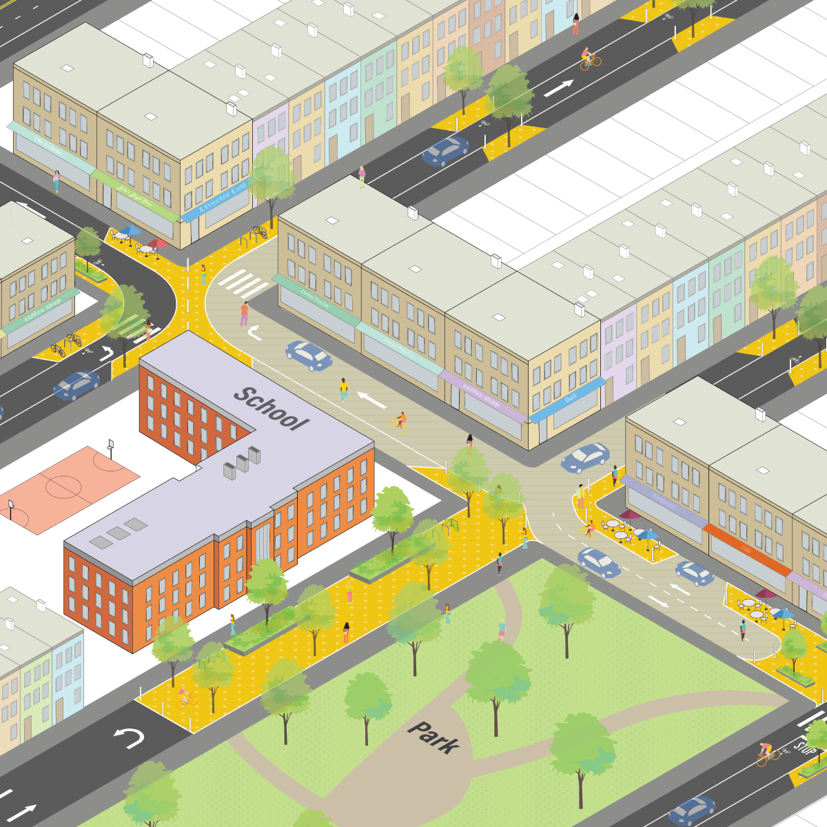
Low Traffic Neighborhoods, or LTNs, are a proven and effective way to reduce cut-through traffic on local streets and improve quality of life and safety on residential blocks. Using simple interventions like diverters, one-ways, signage, and plazas, a Low Traffic Neighborhood keeps the heaviest traffic on main roads and preserves local streets for local traffic.
But how do we know which neighborhoods should be low traffic? Where does it make the most sense to implement these reforms? Thankfully, there’s a tool for that.
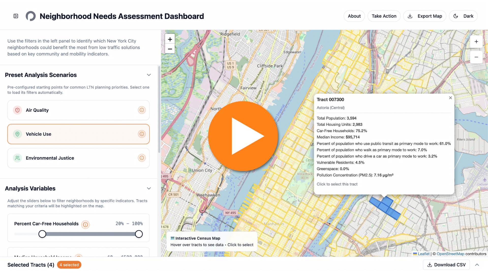
Created by community activist and supporter David Scatterday, our Low Traffic Neighborhood Needs Assessment Dashboard lets you explore which New York communities are ripe for an LTN. We want to extend a special thank you to David for his time, effort, and passion, which made this project possible.
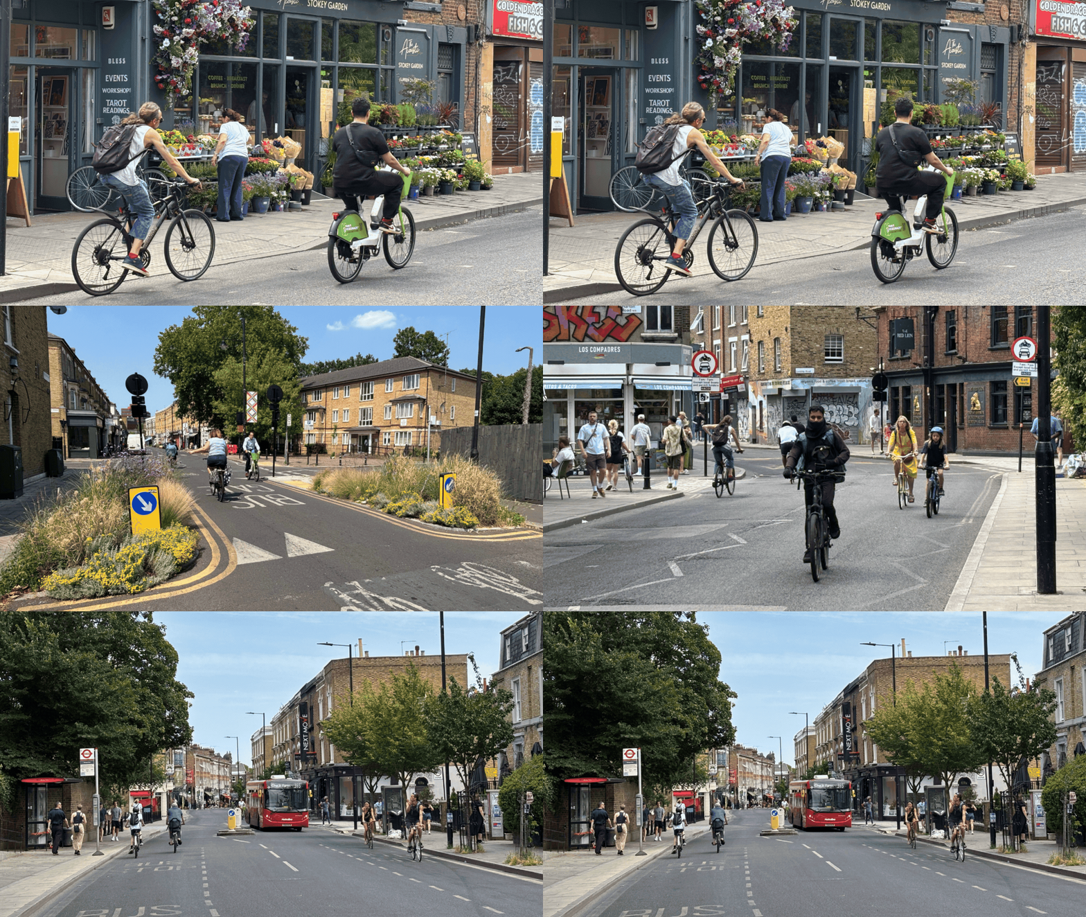
Low Traffic Neighborhoods in London. Photos by Clarence Eckerson Jr.
By using either pre-set scenarios or navigating the data on your own, you can explore communities where most households are car-free, where air pollution is the worst, where most people take transit or walk to work, where environmental justice issues are crucial and much more. Exploring census tract by census tract, you can compare details across neighborhoods, explore recent crash data, and overlay infrastructure like bus and bike lanes to decide.
This information can help inform community boards, Councilmembers, and other elected officials as we push for the creation of Low Traffic Neighborhoods all across New York.
If you’re ready to take action, we’re here to help. A sample Community Board resolution is available here, and you can email us at organizing@openplans.org to work together to bring an LTN to your neighborhood!
Tell your Council Member and the entire City Council that you want LTNs in neighborhoods all across New York City.